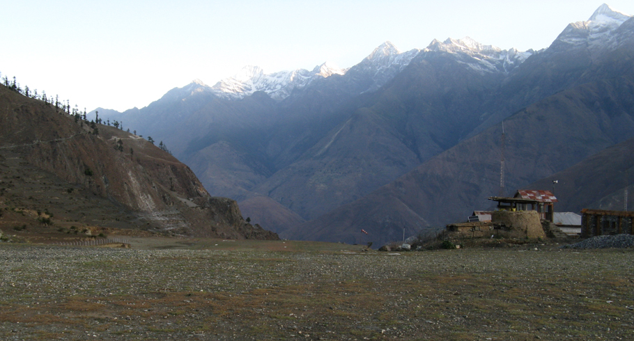
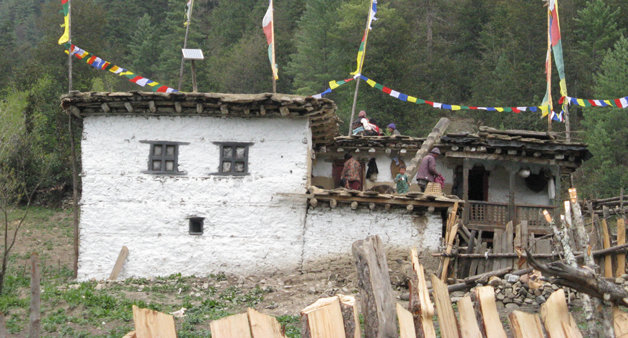
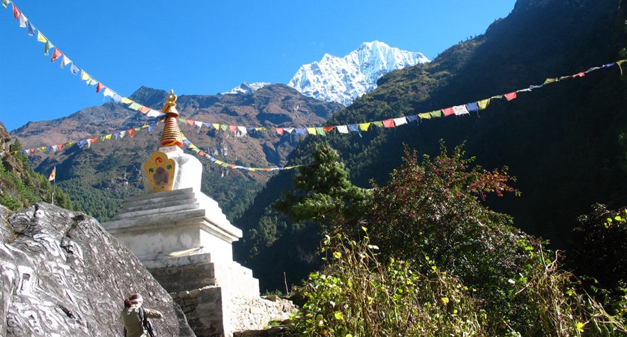
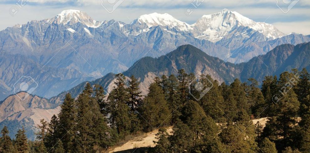
The Upper Dolpo Trek, nestled behind the Dhaulagiri Range, reveals Nepal’s pristine mid-western landscapes. Lower Dolpo boasts a semi-arid terrain with deep gullies, while Upper Dolpo unfolds as an expansive arid region resembling the Tibetan plateau.
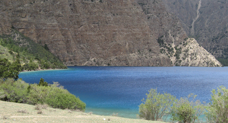
Accessible through a flight from Kathmandu to Nepalgunj, near the Indian border, then connecting to Juphal in Dolpo, the journey begins. A three-day trek along the Phoksundo Khola unveils a picturesque blend of forests and arid vistas, leading to Ringmo and the captivating Phoksundo Lake—Nepal’s deepest at 650m.
The Inner Dolpo Shey Gompa trek winds along the lake’s cliff face, ascending the Phoksundo Valley through juniper scrub and wild rose, with serene campsites dotting the path. The trail descends into an exhilarating gorge, narrowing and challenging before reaching Khanigaon. Traverse impressive forests, explore Tarakot’s fortress town, and ascend through pine-filled gorges to Juphal for a return flight to Nepalgunj.
Overview
Upper Dolpo trek lies hidden behind the Dhaulagiri Range in Nepal’s mid-western region where snow fed streams run off high mountains but few are perennial. Lower (Outer) Dolpo is characterised by a semi arid topography with deep gullies and narrow valleys while Upper (Inner) Dolpo comprises a vast arid region of rolling semi-desert highlands, a continuation of the topography of the Tibetan plateau.

